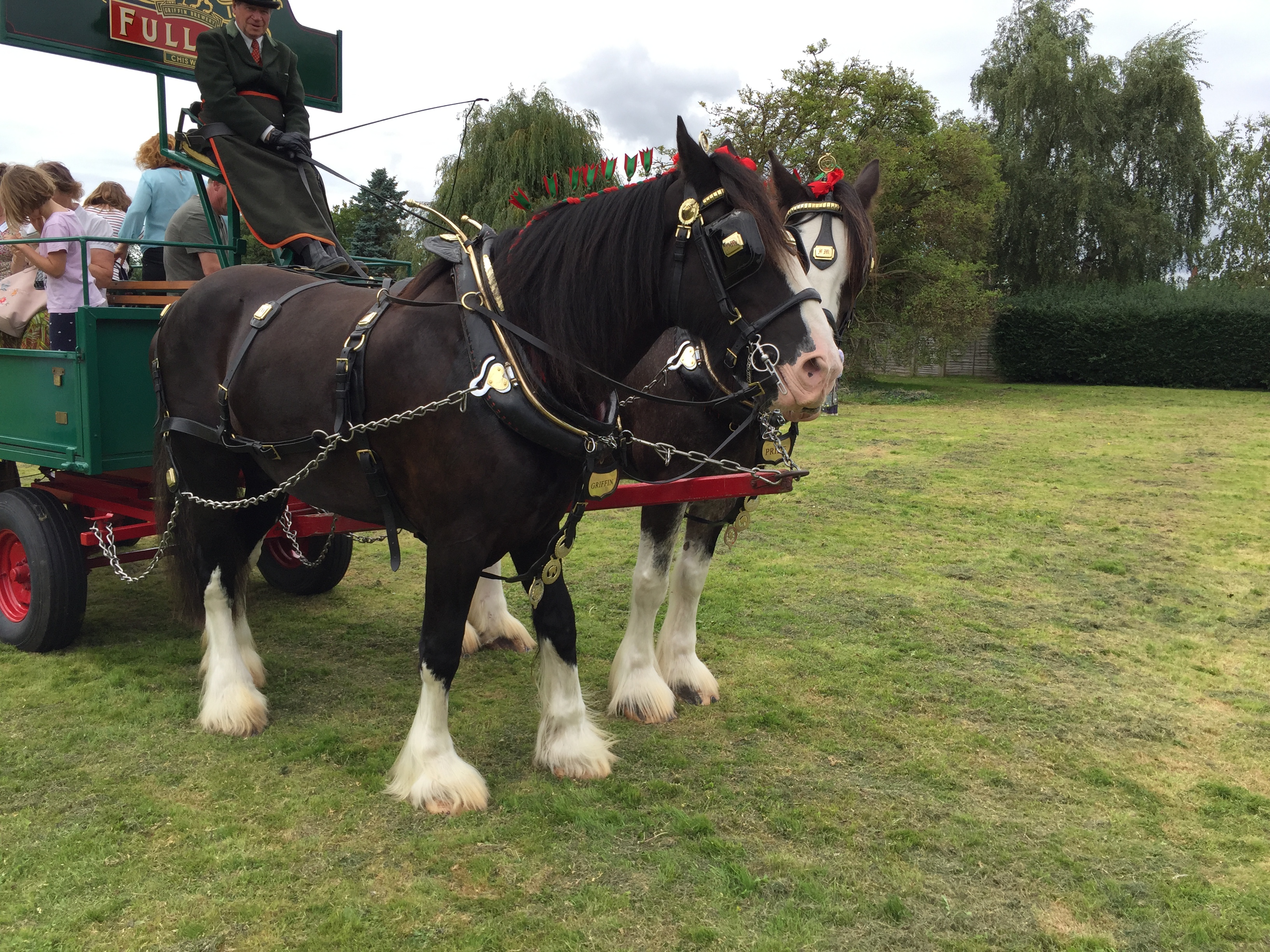
By an amazing coincidence, the very week that the dray horses came back to the Brewery Field, if only for an afternoon, a resident was clearing the vegetation back in her garden when she discovered several items hanging on the wall. The first one was this strange item:
Tag: Residents/Shippams
Hidden Westgate Histories 4: The Westgate Lavant
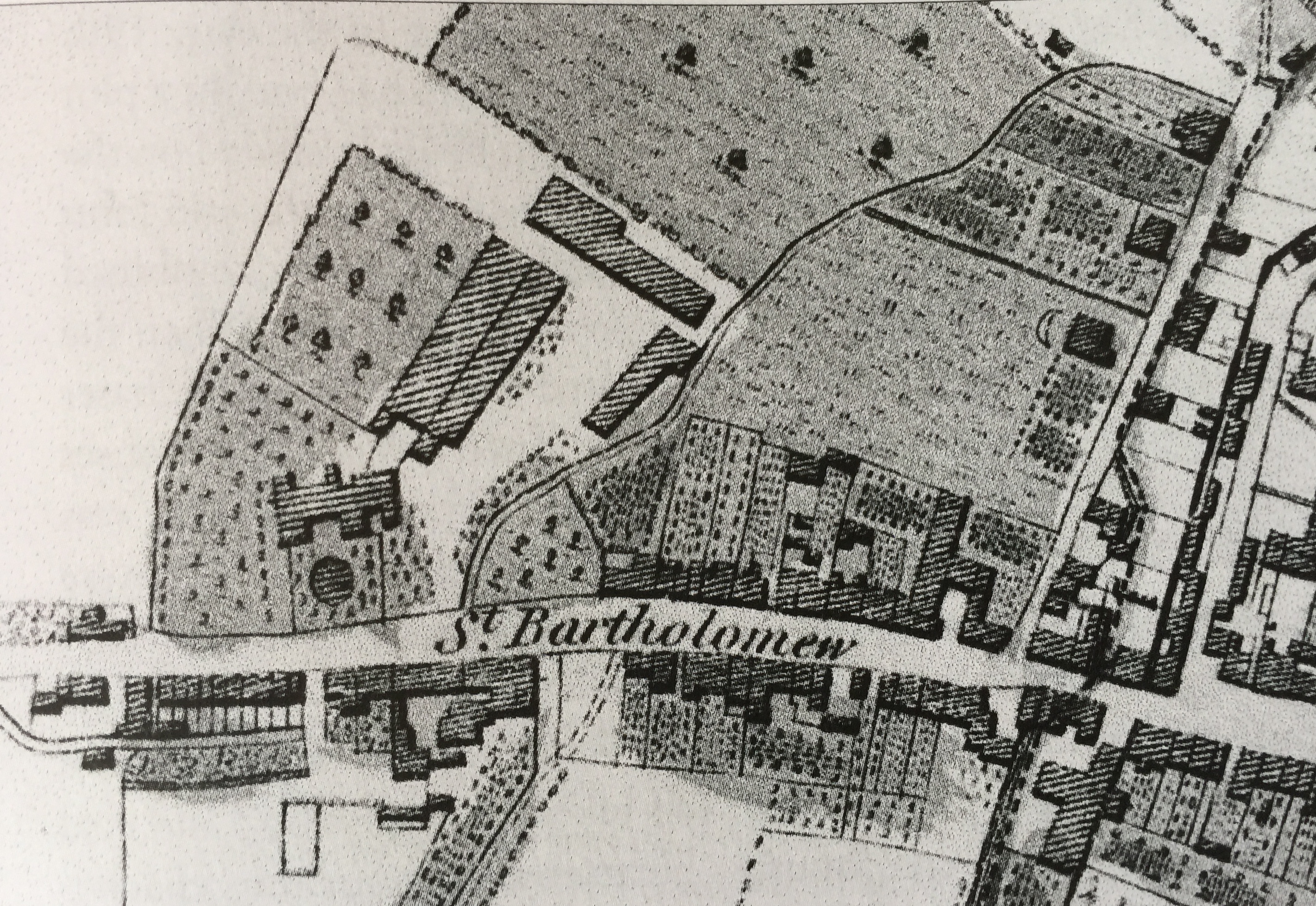
Most residents are familiar with our winterbourne, the River Lavant. Winterbourne because it is a seasonal stream that comes down from the Downs, filtered out of the chalk after the Winter rains.
Suburb of St Bartholomew’s: C19th population
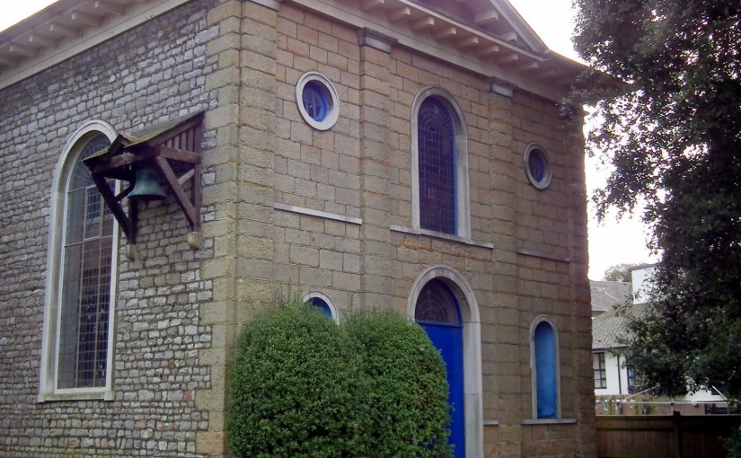
This text is the last in our series about the Suburb of St Bartholomew, through which Westgate runs. It consists of edited data selected from the 19th century censuses for the historic suburb of St Bartholomew (1801 to 1891)
The Shape of Old Westgate
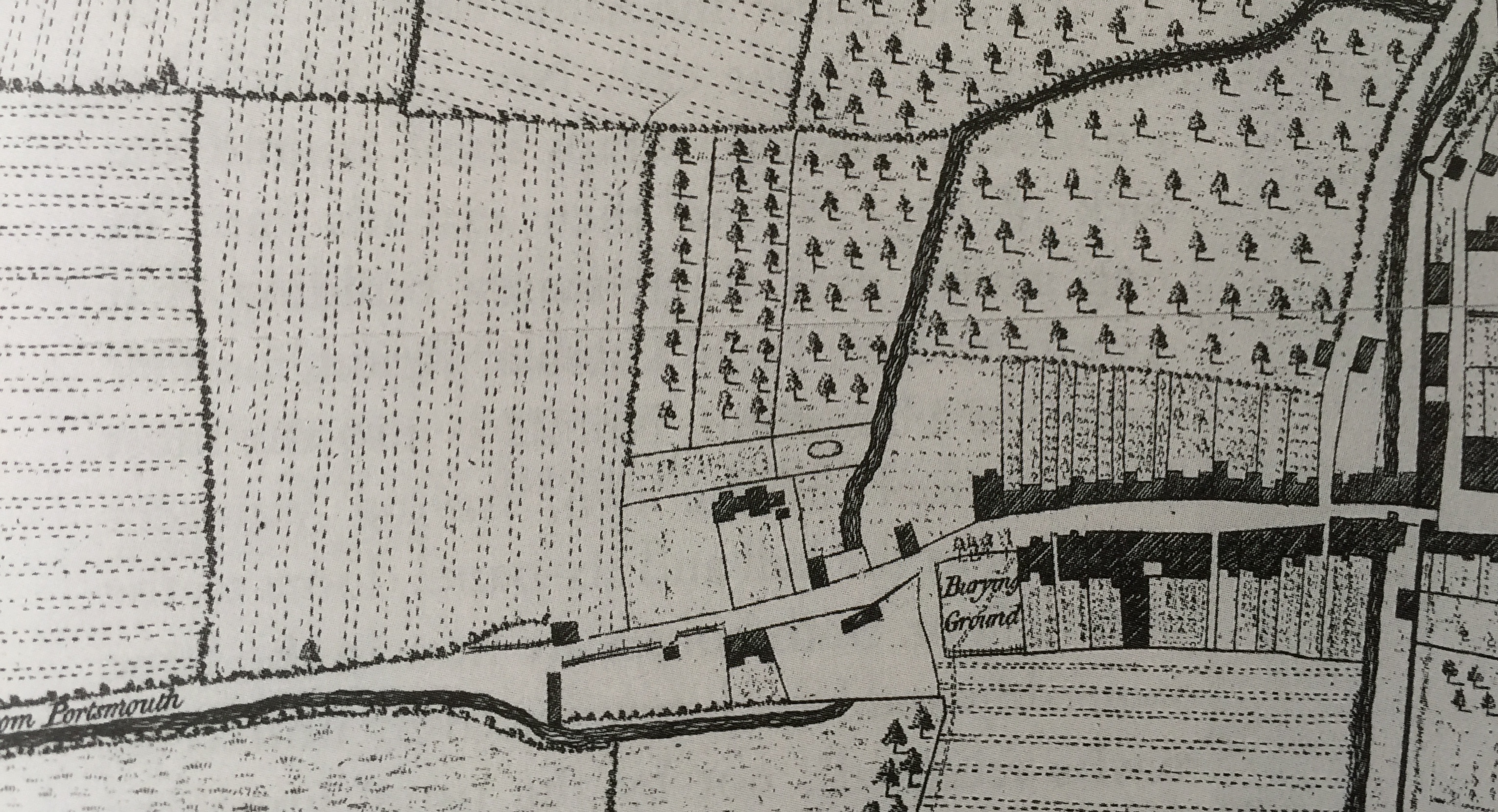
We are grateful to resident John Davies for the following article on the heritage part of our streetscape (the Conservation Area), using earlier research done by the late Dr Latchman which had been passed on to him. The”shape” of Westgate from the old gate through to Parklands Road
History of 27-39 Westgate, aka Shippam’s (updated)

Originally published in 2016, this article has been considerably improved by the diligent research of Dr Richard Brownfield. The terrace now numbered 27 to 39 (odds) has had a most complicated history and it has been thought best to present them as an ensemble. The house numbers are therefore printed in bold to assist navigation… Continue reading History of 27-39 Westgate, aka Shippam’s (updated)