Westgate is now a desirable place to live but this has not always been the case. When it first started to form as a suburb outside the West Gate on the road to Fishbourne, St Bartholomew’s was a poor industrial area. The Fishbourne road developed into the main road along the coast to the west,… Continue reading The Westgate Residents’ Association
Tag: Theme/Streetscape
A Chichester History
Chichester is the only city in Sussex and owes its existence entirely to the Romans. There is no evidence of any form of a major settlement in the area before their arrival. The local iron age people lived in farmsteads rather than towns, although they were organised and there is evidence of considerable trade with… Continue reading A Chichester History
History of 80 Westgate
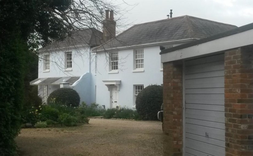
Based on an article originally researched and compiled by Paula Chatfield of Parklands RA for her excellent Easter Trail series and published here by permission. Always known as Westfield House, this is one of our older local buildings, built in the 1700s and extended in the early 1800s. When it was built, it was in… Continue reading History of 80 Westgate
The Westgate Planters – a History
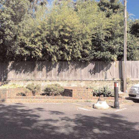
From early times, Westgate was on the main road from Portsmouth to Chichester. There had been a suburb of Westgate outside the city gate since the Middle Ages, with a mixture of terraced houses and some larger ones dominated by the brewery and the tannery.
The Road we call Westgate (updated)
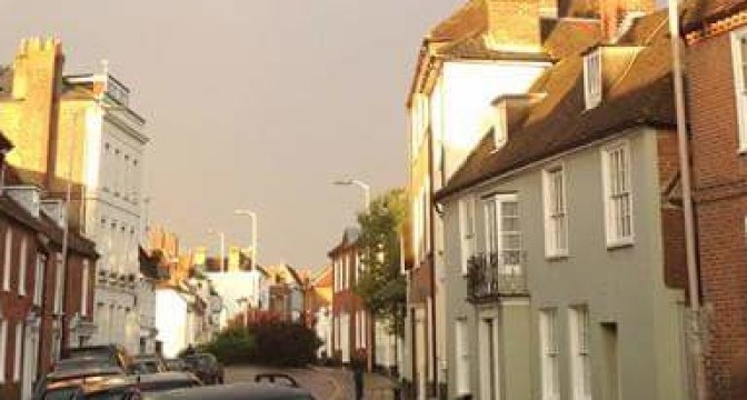
Westgate is so named as it is the road that left Chichester by the West Gate, an encumbrance to traffic which was demolished in 1773 except for the south pillar which is still standing, complete with hinge, to the left of the Indian Restaurant.
Westgate’s K6 Telephone Box
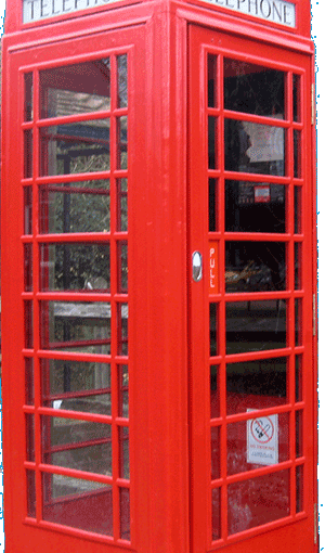
Did you know that the red telephone box on the corner of Parklands Road and Westgate is protected, and listed grade II? It was listed in July 1995 by Historic England, sixty years after it had been erected.
The Chichester and Midhurst Railway: Level Crossing
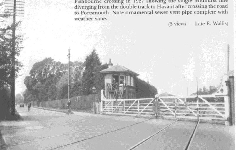
Article adapted from one originally researched and compiled by Paula Chatfield of Parklands RA for her excellent Easter Trail series and re-published here by permission. Before the railway arrived (see 1813 map below), the Westgate/Fishbourne Road was the main road (for foot and horse traffic) between Chichester and Portsmouth.
Chichester & St Bart’s: Walls, Gates and a Ditch
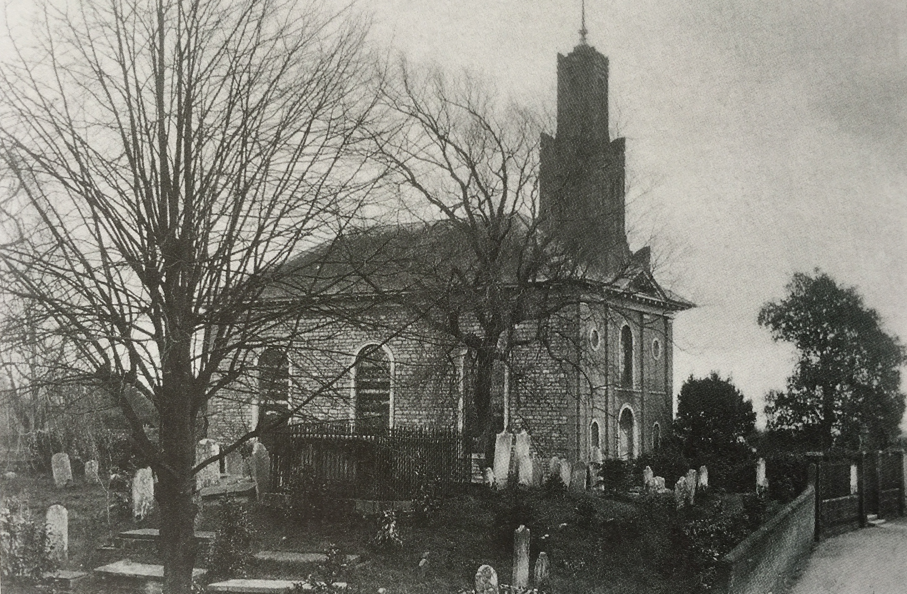
This text is about the suburb of St Bartholomew’s Without in the wider context of the development of the City of Chichester. It is drawn from an edited extract of a 1935 publication (details below). As such it has kept a centuries-old way of talking about Chichester where the city walls, gates, ditch and parishes defined… Continue reading Chichester & St Bart’s: Walls, Gates and a Ditch
Westgate’s Listed Buildings
Did you know that Westgate contains 36 listed buildings and walls? English historic properties and buildings are listed by Historic England (who used to be known as English Heritage). They are the public body that looks after listing England’s historic environment. They champion historic places, helping people to understand, value and care for them, now and… Continue reading Westgate’s Listed Buildings
The Shape of Old Westgate
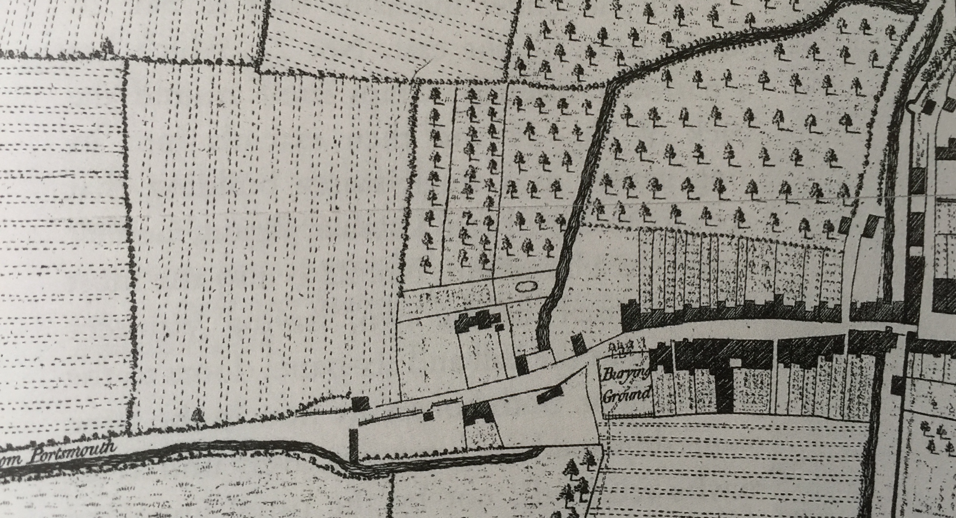
We are grateful to resident John Davies for the following article on the heritage part of our streetscape (the Conservation Area), using earlier research done by the late Dr Latchman which had been passed on to him. The”shape” of Westgate from the old gate through to Parklands Road