Article originally researched and compiled by Paula Chatfield of Parklands RA for her excellent Easter Trail series and published here by permission. Westfield House is one of our older local buildings, built in the 1700s and extended in the early 1800s. The first Ordnance Survey map (1813) shows it clearly – extract below. Its postal… Continue reading Westfield House
Tag: 19th Century
Suburb of St Bartholomew’s: C19th population
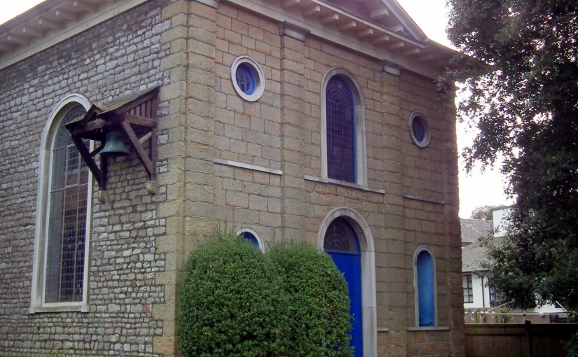
This text is the last in our series about the Suburb of St Bartholomew, through which Westgate runs. It consists of edited data selected from the 19th century censuses for the historic suburb of St Bartholomew (1801 to 1891) The 19th century population of the St Bartholomew’s Civil Parish was the same in 1891 as it was in… Continue reading Suburb of St Bartholomew’s: C19th population
Chichester 1849-1960
Chichester Programme for the Diamond Jubilee of 1897
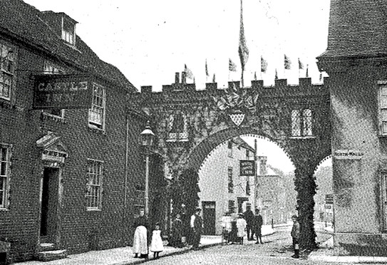
We are very lucky that local historian Ken Green has given us permission to reproduce his collection of historic photos of Westgate and West Street for the delight and education of our residents. Please do not copy these photos for commercial purposes. You will have seen the photo of the gate that was erected for… Continue reading Chichester Programme for the Diamond Jubilee of 1897
The Organ of St Bartholomew’s Church
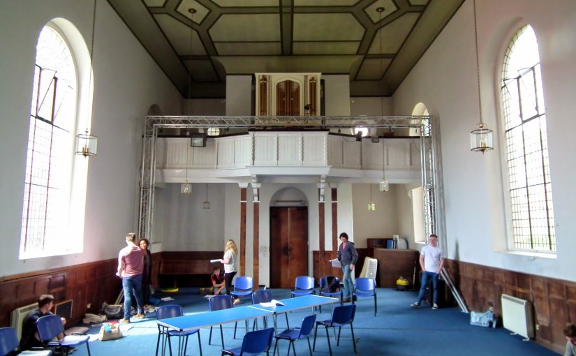
A chance encounter with Alan Thurlow, retired organist of Chichester Cathedral, has enabled us to do some more research into the pipe organ which may still be seen inside St Bartholomew’s church (once we can get access!). Details of the St Bartholomew’s organ can be found under Survey E00701 on the National Pipe Organ Register… Continue reading The Organ of St Bartholomew’s Church
Chichester & St Bart’s: the Municipal Area
Prior to the Norman Conquest of 1066 the municipal area of Chichester is not known. From the late 9th century, Alfred had founded his network of Saxon burhs. These lay at the centre of Alfred’s reformed military defence system and were distributed at strategic points throughout the kingdom. Many were former Roman towns, the largest of which was… Continue reading Chichester & St Bart’s: the Municipal Area
Old Maps of Westgate and Chichester 1
Since the launch of the website we have sought to develop our historical archive. Here is a collection of old maps upon which figures Westgate and its surrounding streets in one form or another. 2007 – I know, we are starting with a recent map, but there are no printed Roman maps in existence of… Continue reading Old Maps of Westgate and Chichester 1
The Gates
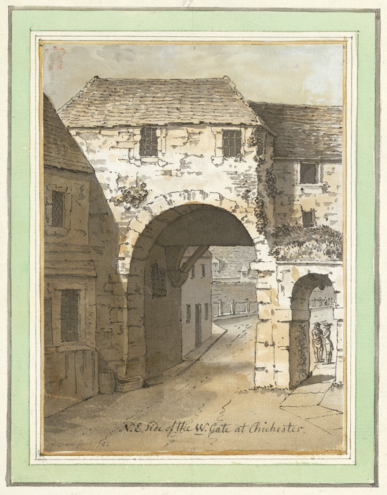
Some controversy rages about what Chichester’s West Gate actually looked like. It was our view initially that this was the gate itself, taken from an 18th century watercolour, but this is disputed by the team at the West Sussex county archives who, in spite of the title at the bottom, believe it must be of… Continue reading The Gates