Memories of a former resident 1946-60

We are very grateful to Tony Keating for his contribution to the site. There are several references to him which can be found if you type Keating into the search box. He has kindly provided additional information to his contribution which is published below and you should cross-refer this with the earlier entries

Notes and Memories of Westgate from 1946 – 1960 

Material collected from an interview with Tony Keating (NOTE – Names and details may not be totally accurate due to distant memory!)

Continue reading Memories of a former resident 1946-60
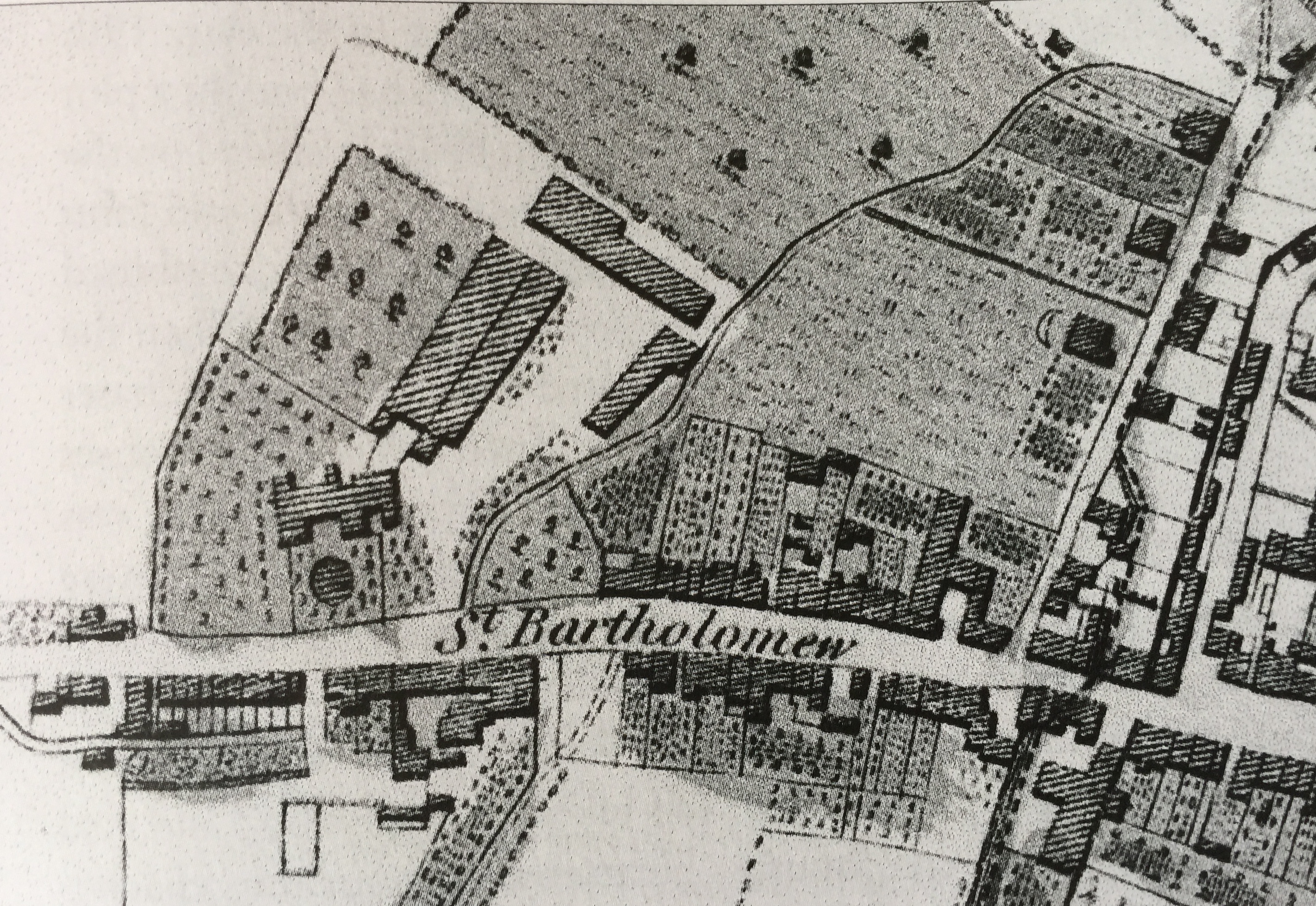
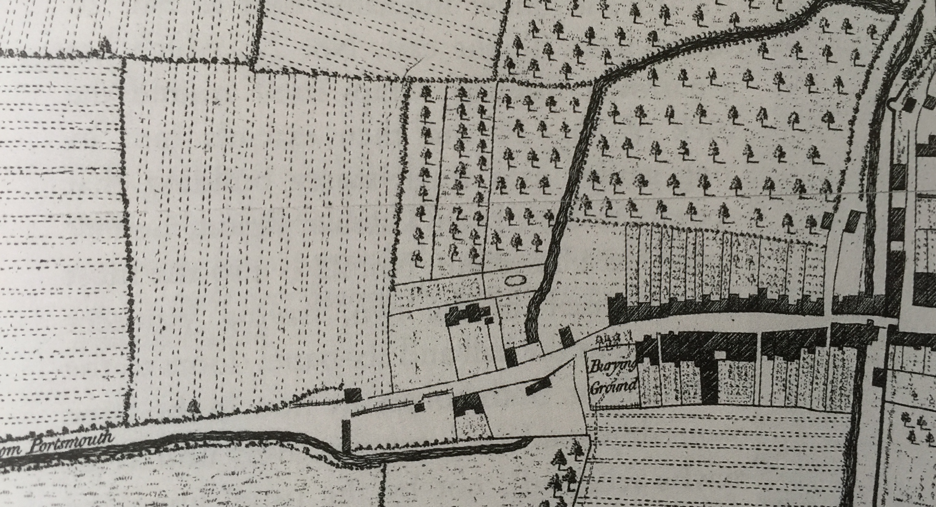
History of The Tannery (61-65 Westgate)

Residents

The Undershill family, who turned out to be tanners, are first recorded in the parish in 1526, when they acquire the share of a lease of 20 acres of land with a house. John Undershill is the earliest documented reference to tanning in St. Bartholomew’s when, in 1549, he witnesses the will of John Parker as a tanner.

Continue reading History of The Tannery (61-65 Westgate)

Westgate Timeline

43CE The Roman Second Legion land at Fishbourne and set up camp on the site which will become the palace of Togidubnus, vassal king of the Regni. Later they march inland under the command of Vespasian, probably along the track which was to become Westgate. They set up a winter camp on the flat plain just before the first undulations of the South Downs. They fortify the camp with a ditch, and an earth and wooden wall. 

Continue reading Westgate Timeline

Hidden Westgate Histories 4: The Westgate Lavant

Most residents are familiar with our winterbourne, the River Lavant. Winterbourne because it is a seasonal stream that comes down from the Downs, filtered out of the chalk after the Winter rains.

Continue reading Hidden Westgate Histories 4: The Westgate Lavant

The Shape of Old Westgate

We are grateful to resident John Davies for the following article on the heritage part of our streetscape (the Conservation Area), using earlier research done by the late Dr Latchman which had been passed on to him.

The”shape” of Westgate from the old gate through to Parklands Road

Continue reading The Shape of Old Westgate

Chichester & St Bart’s: The Early Settlement

The extent of Chichester has altered at various times.

The settlement was first established as a winter fort for the Second Augustan Legion under Vespasian (the future emperor) shortly after the Roman invasion by Emperor Claudius in AD 43. Like all Roman walled towns, Noviomagus Reginorum was divided into four quarters by two main roads or streets crossing approximately in the middle of the town. The public baths are beneath West Street, the amphitheatre under the cattle market and the basilica is thought to be beneath the cathedral.

Continue reading Chichester & St Bart’s: The Early Settlement

Medieval Westgate

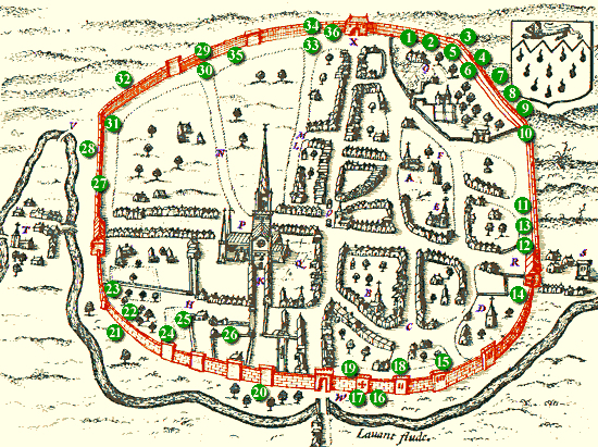
Image courtesy of Chichester Web. This article forms the third in a series on the archaeology of Westgate and is adapted with their permission from an archaeological desk-based assessment prepared by SLR Consulting Ltd on behalf of Chichester College in 2013. The numbers on the map refer to objects mentioned in the text below that have been found and registered in the Historic Environment Record (HER) for Chichester District. 

Continue reading Medieval Westgate
Translate »
error: Content is protected !!