Westgate Archaeology

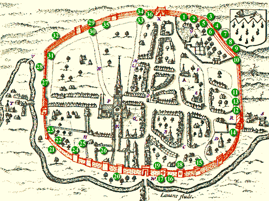
 This section is edited from articles published by Colin Hicks on the original Westgate Residents Association Website, which were adapted with their permission from an archaeological desk-based assessment prepared by SLR Consulting Ltd on behalf of Chichester College in 2013. Richard Brownfield has very usefully brought these all together, updated and developed them to create a fascinating tour of the history of the western/St Bartholomew’s suburb.

PREHISTORIC WESTGATE 

The History of 7-9 Westgate

This article concerns Nos 7 and 9 Westgate, which was a whole house previously known as no.4 and then no. 11 Westgate from 1950 – 1987. 

The numbering of the houses in Westgate started in about 1900 and it has been a confusing experience for anyone trying to identify which property is which. In the 1901 census, this house is confirmed as 4 Westgate, a numbering which continued until the 1939-45 war. After the war, the whole street was renumbered, with odd numbers to the south side, and the house became no.11 Westgate. It was then divided into two in 1988 and renumbered at the same time as the rest of “The Georgian Priory” development, to become numbers 7 and 9.

Hidden Westgate Histories 1: St Sepulchre Round Church

The current St Batholomew’s church in Mount Lane off Westgate is not the first church to have appeared on this site. The suburbs extra muros of St Pancras to the east and of St Sepulchre to the west date back to Roman times, both housing 3rd century cemeteries within their parishes, with the main one to the east (the Litton) in part where the modern Litten Gardens is on New Park Road. The remainder is under the New Park development and car park on the opposite (west) side of the road.

Chichester & St Bart’s: Walls, Gates and a Ditch

This text is about the suburb of St Bartholomew’s Without in the wider context of the development of the City of Chichester. It is drawn from an edited extract of a 1935 publication (details below). As such it has kept a centuries-old way of talking about Chichester where the city walls, gates, ditch and parishes defined our boundaries, untrammelled by the modern changes that not much more than five years later would come finally to disrupt the millennial harmonies of our cityscape.

Continue reading Chichester & St Bart’s: Walls, Gates and a Ditch

Chichester & St Bart’s: History of the Municipal Area

Prior to the Norman Conquest of 1066 the municipal area of Chichester is not known.

From the late 9th century, Alfred had founded his network of Saxon burhs. These lay at the centre of Alfred’s reformed military defence system and were distributed at strategic points throughout the kingdom. Many were former Roman towns, the largest of which was Winchester, where the stone walls were repaired and ditches added. Chichester was part of this scheme.

Continue reading Chichester & St Bart’s: History of the Municipal Area

Medieval Westgate

Image courtesy of Chichester Web. This article forms the third in a series on the archaeology of Westgate and is adapted with their permission from an archaeological desk-based assessment prepared by SLR Consulting Ltd on behalf of Chichester College in 2013. The numbers on the map refer to objects mentioned in the text below that have been found and registered in the Historic Environment Record (HER) for Chichester District. 

Continue reading Medieval Westgate

A brief archaeology of Westgate

This brief article introduces a monthly series of four on the archaeology of Westgate. These four pages may be accessed via the  underlined titles. The data has been adapted, with their permission, from the findings of an archaeological desk-based assessment prepared within a 500 metre radius of Chichester College by SLR Consulting Ltd in 2013. Hence the funny box on the maps.

Continue reading A brief archaeology of Westgate

error: Content is protected !!