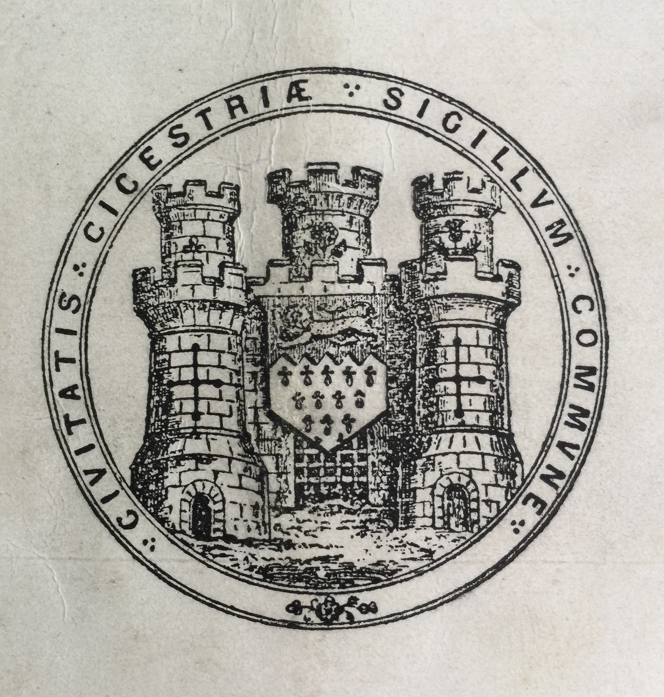
Chichester & St Bart’s: History of the Municipal Area

Prior to the Norman Conquest of 1066 the municipal area of Chichester is not known.

From the late 9th century, Alfred had founded his network of Saxon burhs. These lay at the centre of Alfred’s reformed military defence system and were distributed at strategic points throughout the kingdom. Many were former Roman towns, the largest of which was Winchester, where the stone walls were repaired and ditches added. Chichester was part of this scheme.

Continue reading Chichester & St Bart’s: History of the Municipal Area
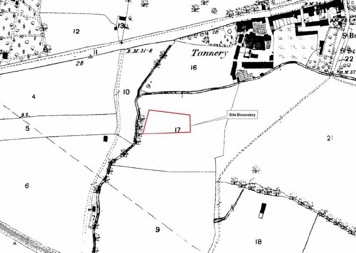
Westgate in the 17th to 19th Centuries

This article forms the fourth and final one in a series on the archaeology of Westgate and is adapted with their permission from an archaeological desk-based assessment prepared by SLR Consulting Ltd on behalf of Chichester College in 2013. The numbers on the map refer to objects mentioned in the text below that have been found and registered in the Historic Environment Record (HER) for Chichester District. 

Continue reading Westgate in the 17th to 19th Centuries

Chichester & St Bart’s: The Early Settlement

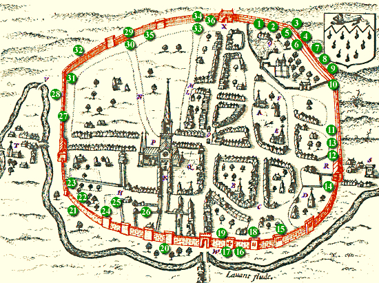
The extent of Chichester has altered at various times.

The settlement was first established as a winter fort for the Second Augustan Legion under Vespasian (the future emperor) shortly after the Roman invasion by Emperor Claudius in AD 43. Like all Roman walled towns, Noviomagus Reginorum was divided into four quarters by two main roads or streets crossing approximately in the middle of the town. The public baths are beneath West Street, the amphitheatre under the cattle market and the basilica is thought to be beneath the cathedral.

Continue reading Chichester & St Bart’s: The Early Settlement

Medieval Westgate

Image courtesy of Chichester Web. This article forms the third in a series on the archaeology of Westgate and is adapted with their permission from an archaeological desk-based assessment prepared by SLR Consulting Ltd on behalf of Chichester College in 2013. The numbers on the map refer to objects mentioned in the text below that have been found and registered in the Historic Environment Record (HER) for Chichester District. 

Continue reading Medieval Westgate

Prehistoric Westgate

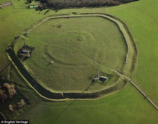
This article forms the first in a series on the archaeology of Westgate and is adapted with their permission from an archaeological desk-based assessment prepared by SLR Consulting Ltd on behalf of Chichester College in 2013. The numbers on the above map refer to objects mentioned in the text below that have been found and registered in the Historic Environment Record (HER) for Chichester District.

Palaeolithic Period (c 500,000 – c 10,500 BP)

Continue reading Prehistoric Westgate

A brief archaeology of Westgate

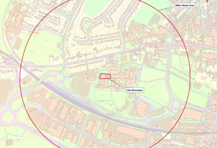
This brief article introduces a monthly series of four on the archaeology of Westgate. These four pages may be accessed via the  underlined titles. The data has been adapted, with their permission, from the findings of an archaeological desk-based assessment prepared within a 500 metre radius of Chichester College by SLR Consulting Ltd in 2013. Hence the funny box on the maps.

Continue reading A brief archaeology of Westgate

St Bartholomew Without, Mount Lane (updated)

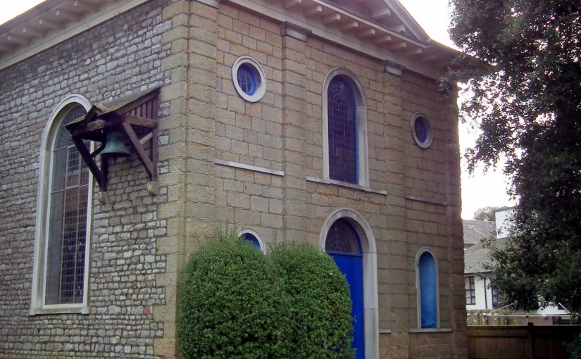
As its name suggests, and like the “green hill far away”, St Bartholomew is “without a city wall”, in this case ‘without’ Chichester’s West Gate. The Church is designated by Historic England (formerly English Heritage) at Grade II for the following principal reasons:

Continue reading St Bartholomew Without, Mount Lane (updated)
Translate »
error: Content is protected !!