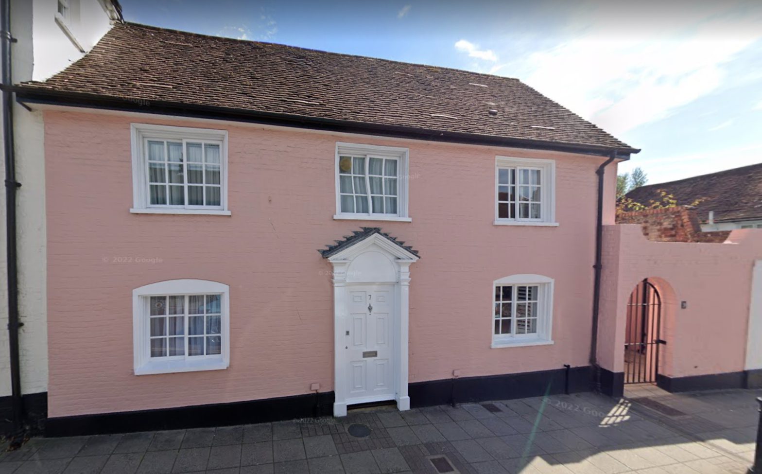
This article concerns Nos 7 and 9 Westgate, which was a whole house previously known as no.4 and then no. 11 Westgate from 1950 – 1987.
The numbering of the houses in Westgate started in about 1900 and it has been a confusing experience for anyone trying to identify which property is which. In the 1901 census, this house is confirmed as 4 Westgate, a numbering which continued until the 1939-45 war. After the war, the whole street was renumbered, with odd numbers to the south side, and the house became no.11 Westgate. It was then divided into two in 1988 and renumbered at the same time as the rest of “The Georgian Priory” development, to become numbers 7 and 9.

So here are nos. 7 and 9 Westgate, previously no. 4 and a single house. The dividing wall between the properties is between the door and the right-hand pair of windows. The front door of number 9 is through the metal gate.
Evidence of the property from old maps

John Norden’s map of 1596 shows houses on the south side of Westgate, between the West Gate and St Sepulchre’s Church – which is in the left bottom corner of the map (WSRO).

On the Yeakel and Gardner map of 1769 (WSRO ref:PM249) by William Gardner, one can see a footprint of houses all along the south side of Westgate as far as the “Burying Ground” for St Bartholomew’s Church – the church itself had been destroyed in the attack on Chichester during the Civil War and was not rebuilt until 1843.
These houses do not match the later footprint of houses on the site of no. 9. In fact there appear to be two similar houses orientated at right angles to the road, just to the east of the path through to the fields that was later incorporated into the property. The houses also have long gardens. Both these factors are an indication that these plots started their lives as medieval burgages. This was an ancient form of urban land rental from a king or a lord, which began in the 13th century when towns were known as burghs or boroughs – hence the name. These plots are known for their narrow strip footprint, with long gardens for growing food and houses which were placed end on to the highway since the narrowness of burgages did not allow for a full street frontage.

1812 Survey by George Loader (WSRO)
On this extract from 1812 survey by George Loader, the building next to the wall on the far right is the ‘Old Toll House’, which is now an Indian Restaurant by the roundabout. The White Horse Inn with its yard and outbuildings surrounding it is next. Moving further to the left, two wider buildings appear, No. 3 not having been built in its present form.
Current no. 9 finishes this line-up. The garden of end-on no. 11 is easily identified with a narrow plot with no building on it (an old pathway down to the Westgate fields) 7+9 is on the other side of this. In true burgage style, all the plots stretch well back and the house is shown deeper than it is wide. Which would suggest that this was not the present house, which is orientated parallel to the road.

By the publication of this Tithe Map in 1846 (WRSO), the two plots have been joined together and a new garden wall built close to their southern walls. All the burgage gardens have now been combined into the large formal garden of house no.3/5 (tithe 34 on the map) complete with ornamental lake and which is now lost as a feature of Westgate.
The building
Only one building is now shown on this site, with its long axis parallel to the road, extending even onto the second plot and with the open alley and sheds around it. There is now also a southern extension, with a barn on the back of the extension, which was in use in 1975 as a wash house and lavatory.
At some point a smaller building, probably a privy, was built between this and the garden wall. The wall held back the earth, the yard behind number 7 being at house level, much lower than the garden on the other side of the new wall. There were no south facing windows in what is now 9, the windows of the extension looking east onto the yard. Entry to the now cut off alley from the road was via a door in the front wall, through a small yard and then into a covered area.
From inspection of the roof timbers in no. 7-9, it would appear that the central section of the house, parallel to the road and back to the wall, is older than the rest. The timber has clearly been recycled from an earlier use with peg holes and mortise joints, but used in this roof. The timber is oak and must have come from a previous house. A chimney and fireplace were previously in the wall in the southwest corner of what is now the kitchen.
Residents
Living in the house in 1891 was Thomas Russell (49), a photographer with studios in Eastgate and Southgate; and his wife Harriett (50), a single daughter Alice, (27) – described as a photographer’s assistant, and 7-year-old scholar Martha Russell.
Thomas does not appear to have worked at the Westgate address. His father James Russell, with whom Thomas had started as an assistant, also had a studio in Chichester. Trading as James Russell and Sons, he took a number of Royal portraits, including the Prince of Wales. For further details see http://www.photohistory-sussex.co.uk/ChichRussellThos.htm.
By 1900, John Ogburn Holt with his 55-year-old wife Elizabeth, née Pile, had moved into no. 4 (now 7&9) from no. 47 (now 16), over the road. The 1901 census describes him as a 55-year-old builder and decorator. In 1901 daughter Emma (26) worked in a fancy wool business, son William George (21) was a joiner and woodworker, and John (19), Muriel (19 – twins?) and Lizzie H.M. (11) were also at home.
In 1911, John Holt and his wife were still at number 4. An unmarried son, also called John Ogburn Holt, aged 29, was living with them. He was a master builder. A single daughter Lizzie Helena (21) is recorded as “assists in the house”. The others all appeared to have left home. A John Holt built the West Gate Celebration arch in 1911 for King George Vs Coronation.
Still at no. 4, John Snr’s health had deteriorated by 1921, and a Phyllis Ellen Wilford a ‘Sick Nurse for the head of the household’ was also present, as well as his wife Elizabeth and her sister Mary Ann Lambert (70), who had been born in Essex. He died on 8th March 1922 and is buried in Portfield Cemetery. John Ogburn Holt senior was Mayor in 1907 and 1908 and became an Alderman in 1914. He was also a J.P. He owned several properties which were let in Westgate, including a shop at no. 47 (now 16), the old farmhouse no. 8 (now 19), no. 35 (now 38) and possibly no. 44 (now 20). His father, also John Holt, also lived at no 36 (the only house with the same number in both systems), and his sister Ellen Holt continued living there after her father’s death.
In 1923 William George Robinson a bus driver moved into 4 (now 7+9) Westgate. He had been born on 7th December 1889. He was married to Mary and had 4 children Geoffrey, Thomas, William, and Mary.
In 1950 Mr Robinson was still living in the house when it was listed, now renumbered 11. The entry in the Historic Environment Register (HER) reads:
“CHICHESTER Westgate (South Side): 3/312: No 11 (Formerly listed as No 4): 5.7.50.: II: C18. 2 storeys. 3 windows. Immediately adjoining western extension to Marriott House but with much lower frontage; steeply pitched tiled roof. Painted brick. Sliding windows, those on the ground floor having slightly curved headings (formerly, wooden shutters also to ground floor windows). Glazing bars. Doorway with Doric pilasters and pediment. Door with upper part glazed and with 2 fielded panels below; blocked semi-circular fanlight over. Fire insurance company mark. 1 storey extension to west; painted brick; flat arched doorway with wooden boarded door.”
The last record of William George Robinson in Kelly’s Street Directory is 1954 but according to the Theological College records he moved out in 1958, and the College took possession in 1959.
Little seems to have changed until 1959, when the principal of the Theological College reported at the General Meeting
“A few years ago Dr Moorman [the principal at the time] took over the lease of the house adjoining Marriott House. At the end of 1958 the tenants found other accommodation and plans are underway for adaptions to the house to provide accommodation for 8 or 9 students.”
That year rent was paid by the College on numbers 5, 7, 9 and 11 and the plans for annexing and adapting number 11 were completed in 1961. Other plans were then made to buy the freeholds of 5-11 from the Church Commissioners.

Westgate looking west in 1962. Number 7+9 is on the far left and shows the doorway, which it was planned to replace with a window in 1959; however, permission for other alterations to use it for student accommodation was only granted with a condition that the door remained. (WSCC photographic database PH 188)
Richard Brownfield 2025
[A more exhaustive view of this property can be found in Dr Brownfield’s book]

